High-accuracy AR for Utilities and SUE
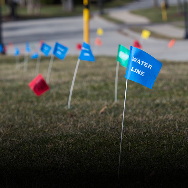
Display existing infrastructure and proposed SUE designs in high-accuracy AR to locate assets, detect problems, and improve collaboration.
Display existing infrastructure and proposed SUE designs in high-accuracy AR to locate assets, detect problems, and improve collaboration.
vGIS AR transforms traditional BIM and CAD designs and GIS data into real-time augmented reality displays that are overlaid on your view of a physical job site with centimeter-level accuracy.
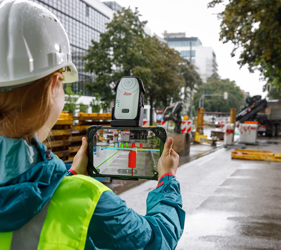
Use a device already in your pocket—like an Android phone, an iPhone, a tablet, or the Microsoft HoloLens—to observe utility infrastructure as a natural extension of the real world.
Save time and avoid costly mistakes and delays thanks to instant and comprehensive awareness of your surroundings and built-in productivity tools.
Explore the case study below to learn about the real-life benefits of vGIS.
| Industry Case Study |
vGIS integrates with Autodesk Build (BIM 360), Bentley iTwin, and Esri ArcGIS, and it accepts other BIM and GIS formats to create accurate augmented reality (AR) views of surrounding infrastructure.
vGIS aggregates and harmonizes geospatial data from available sources to reduce or eliminate the manual effort that would otherwise be required to prepare digital-twin data. vGIS does it for you automatically.
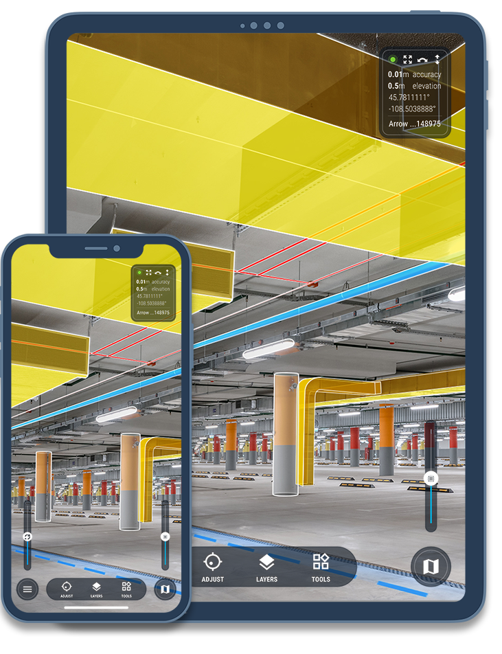
Displaying the current and proposed infrastructure as 3D objects in AR gives you a better understanding of your surroundings, increases productivity, reduces errors, and provides a safer work environment.
A few of the many reasons to deploy vGIS:
for active users
faster locates of 30 minutes or longer
per month for active users
less time required for clash reviews
Companies from many industries and the government—AEC, utilities, service providers, federal agencies—use vGIS to help their engineers, field supervisors, project managers, and field workers to gain clarity and direction in their work.
use vGIS on job sites to detect design errors, avoid design clashes, and facilitate collaboration among project team members.
use vGIS on job sites to detect design errors, avoid design clashes, and facilitate collaboration among project team members.
use vGIS on job sites to detect design errors, avoid design clashes, and facilitate collaboration among project team members.