Engineering-grade AR for AEC
Leading high-accuracy augmented reality system built for architecture, engineering, and construction (AEC).
Leading high-accuracy augmented reality system built for architecture, engineering, and construction (AEC).
Prevent errors that lead to project delays and cost overruns by using engineering-grade augmented reality to validate designs in a real-world context on a one-to-one scale.
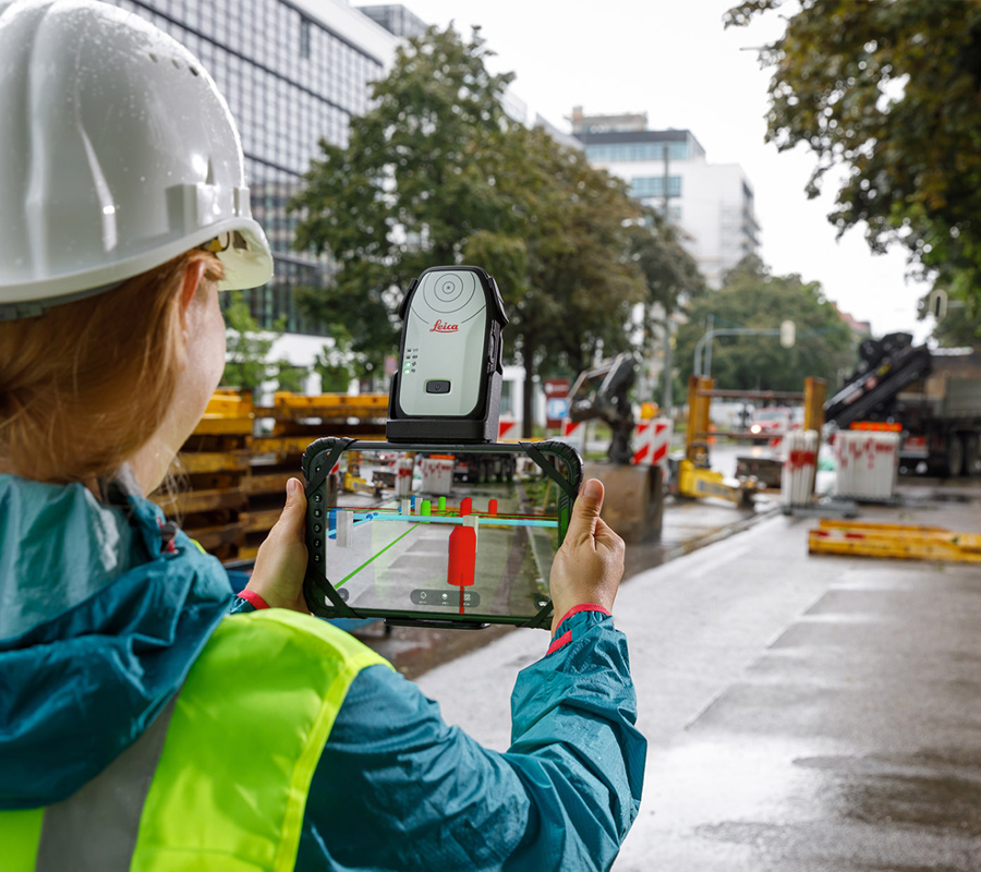
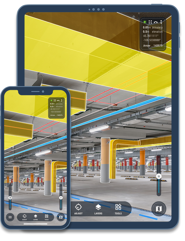
Display CAD, BIM, GIS, and 3D scan data as augmented reality overlays with centimeter-level accuracy to validate as-built. Document problems and work in progress with built-in data collection, 3D scanning, and other productivity tools.
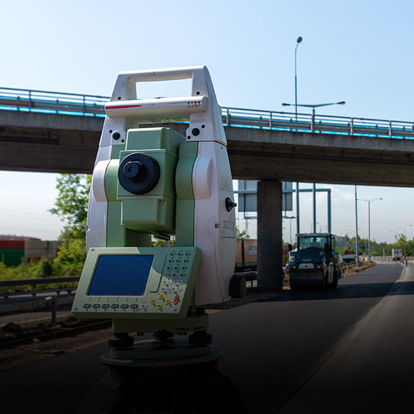
Use your existing positioning and visualization equipment—GNSS and total stations, Android and iOS devices, or even the futuristic Microsoft HoloLens—to streamline deployments and reduce costs.
| Industry Case Study |
vGIS accepts traditional BIM and GIS files (IFC, DWG, DXF, and many others) or pulls data dynamically from Autodesk Build (BIM 360), Bentley iTwin, Esri ArcGIS, and other repositories to create accurate Augmented Reality (AR) views of surrounding infrastructure on the project site.
When combined with common platforms like Autodesk Build and Esri ArcGIS, vGIS automatically incorporates all changes in the AR view as your data changes at the source.
Displaying the current and proposed models as 3D objects in AR gives you a better understanding of your surroundings, increases productivity, helps validate accuracy, reduces errors, and provides a safer work environment.
A few of the many reasons to deploy vGIS:
faster understanding of surroundings
faster review of potential clashes
less time required for clash reviews
reduction in drawing-AR conversions
This video showcases the benefits of using AR in the AEC space.
Visualizations from a civil construction project.
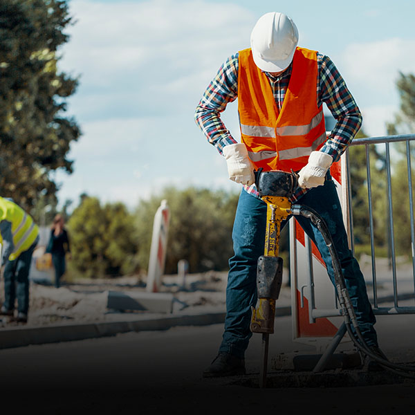
Companies from many industries and the government—AEC, utilities, service providers, federal agencies—use vGIS to help their engineers, field supervisors, project managers, and field workers to gain clarity and direction in their work.
use vGIS on job sites to detect design errors, avoid design clashes, and facilitate collaboration among project team members.
use vGIS on job sites to detect design errors, avoid design clashes, and facilitate collaboration among project team members.
use vGIS on job sites to detect design errors, avoid design clashes, and facilitate collaboration among project team members.