Augmented reality productivity tools
Complete job tasks using a single app while working with augmented reality visuals.
Complete job tasks using a single app while working with augmented reality visuals.
vGIS offers a variety of productivity tools built into a single application.
Combining high-accuracy AR visuals with tools that let you take action directly within the AR app eliminates the need for multiple apps and multi-step workflows. You save time, save money, and simplify your workflows.
vGIS constantly updates the toolkit to improve existing tools and create new ones in response to your feedback. Share your ideas with us, and they can become a reality with minimal cost and effort.
| Key vGIS Features |
Record videos, take photos, and add voice and text notes to create georeferenced reports that are digitally linked to objects requiring attention. Tag objects with augmented reality tags so that others can quickly locate notes anywhere on the job site.
Use the remote assistance capabilities of vGIS to enable knowledge sharing that increases productivity and reduces costs. Use your regular Android, iOS, or Microsoft HoloLens device to collaborate in real time.
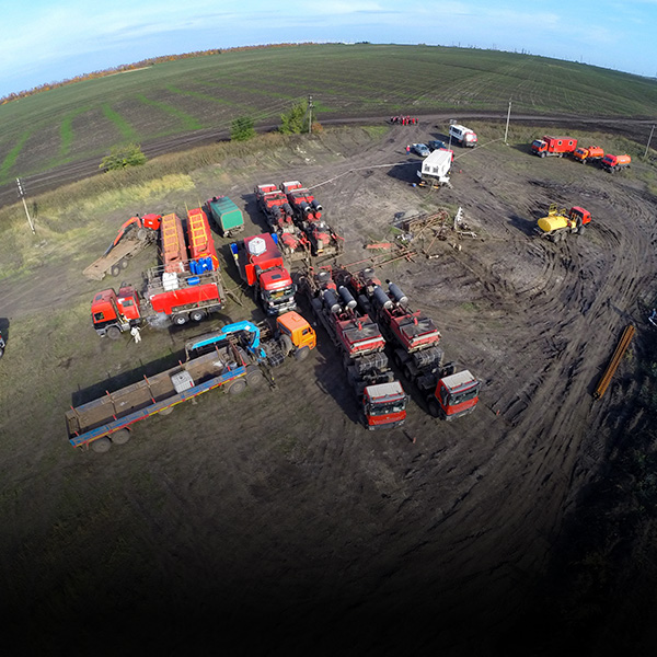
Display data generated by various sensors, including ground-penetrating radar.
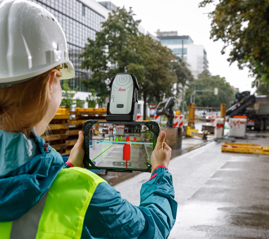
Collect GIS information, measure areas and distances, generate site sketches, and perform 3D scans directly from vGIS AR.
A few of the many reasons to use the productivity tools of vGIS:
faster understanding of surroundings
fewer site visits
faster issue reporting
Use vGIS to document job sites with LiDAR scans.
vGIS's ‘virtual tags’ allow users to label areas requiring attention. These georeferenced tags store images, voice and text notes, etc. to improve collaboration.
Companies from many industries and the government—AEC, utilities, service providers, federal agencies—use vGIS to help their engineers, field supervisors, project managers, and field workers to gain clarity and direction in their work.
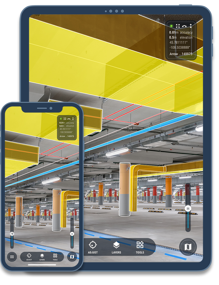
use vGIS on job sites to detect design errors, avoid design clashes, and facilitate collaboration among project team members.
use vGIS on job sites to detect design errors, avoid design clashes, and facilitate collaboration among project team members.
use vGIS on job sites to detect design errors, avoid design clashes, and facilitate collaboration among project team members.